 Ticketing
  Pass
Pass
 Gift box
  Groups & business
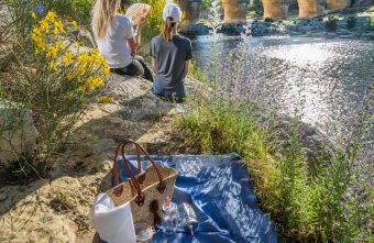


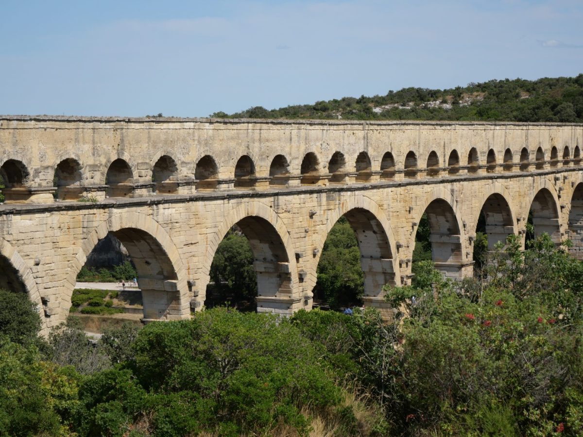

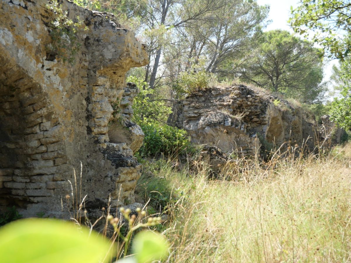
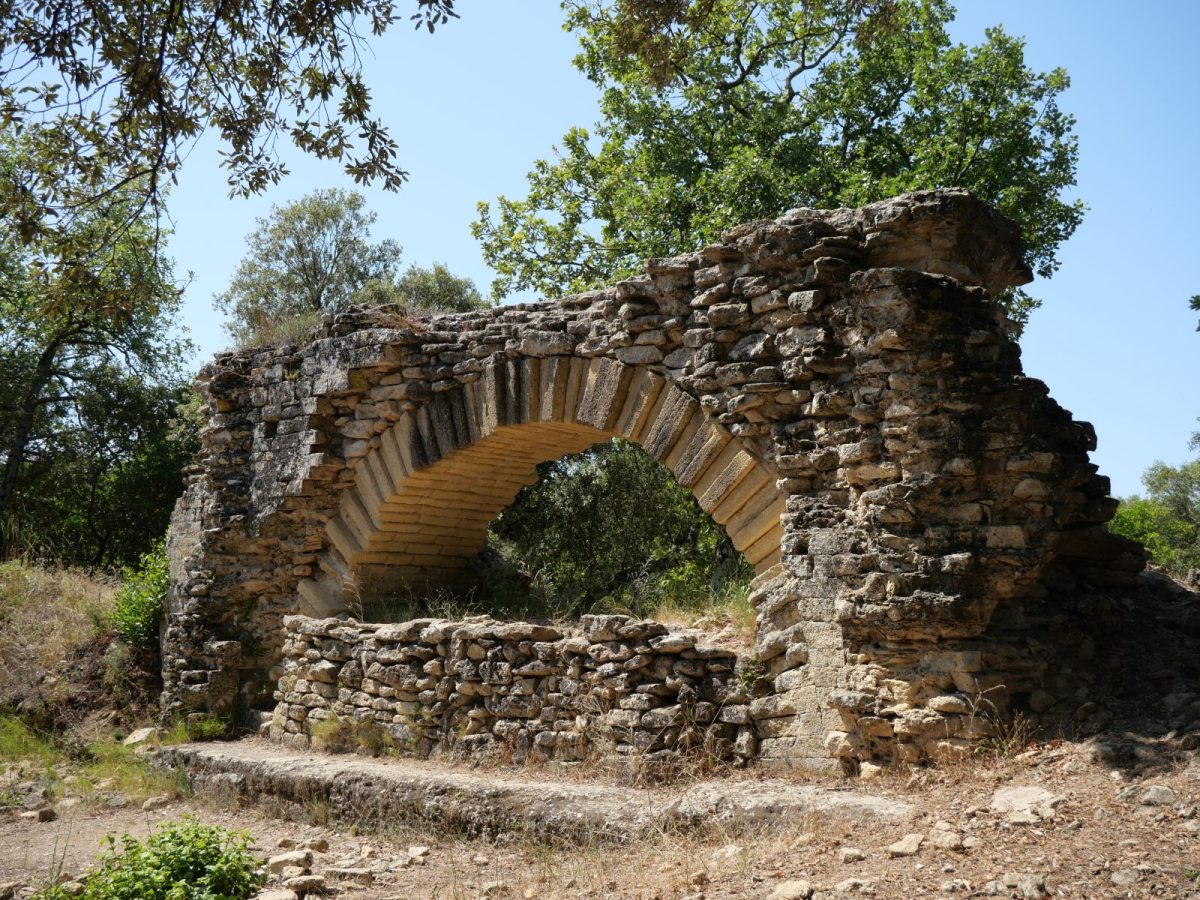
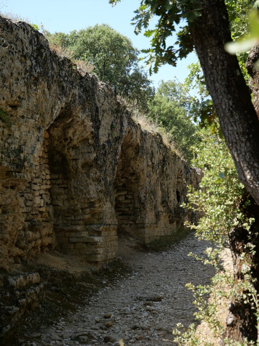
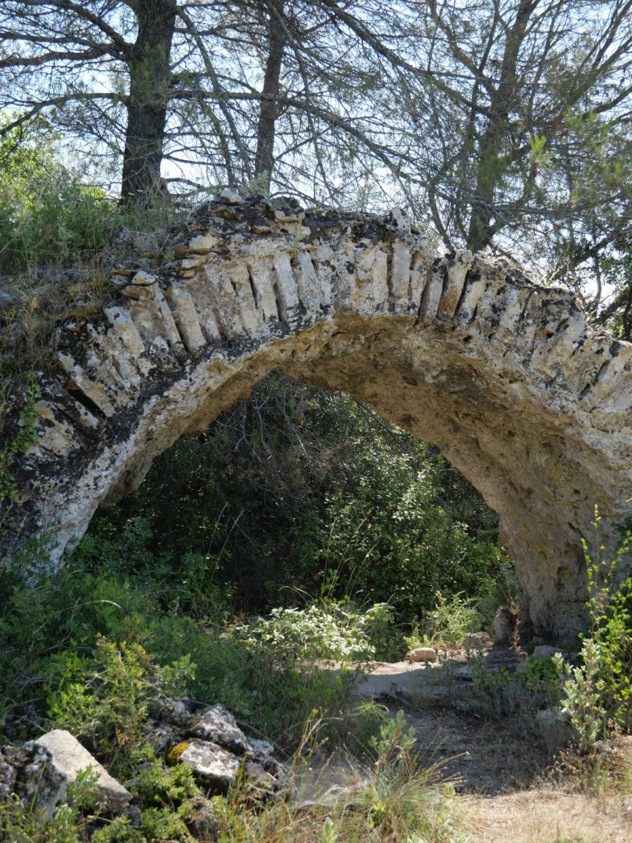
Follow the route taken by the Roman aqueduct to bring water to Nîmes. Discover the stone used to build the Pont du Gard and many other local constructions.
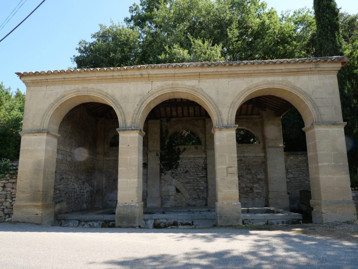
Departure from the parking lot of the wash house in Vers Pont du Gard
Follow the "route de Misserand" to go to the second wash house. Red and white markings of the GR63 Urbain V.
Turn left at the signpost to "le Pont du Gard".
Pass near the remains of the Roman aqueduct.
At the traffic circle of Vers pont du Gard, cross the road straight ahead (be careful) and enter the site of the Pont du Gard on the left bank by the "sentier de Mémoire de garrigue" (signpost Pont du Gard).
For the return:
Take the "Valive" path after the hundred-year-old olive tree (red and white markings on the stone steps).
At the intersection, at the sign "Pont Roupt" continue straight on in the direction of St Pierre for 1.1km.
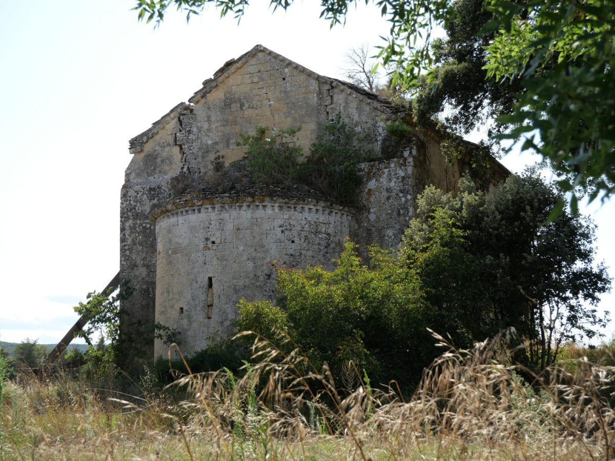
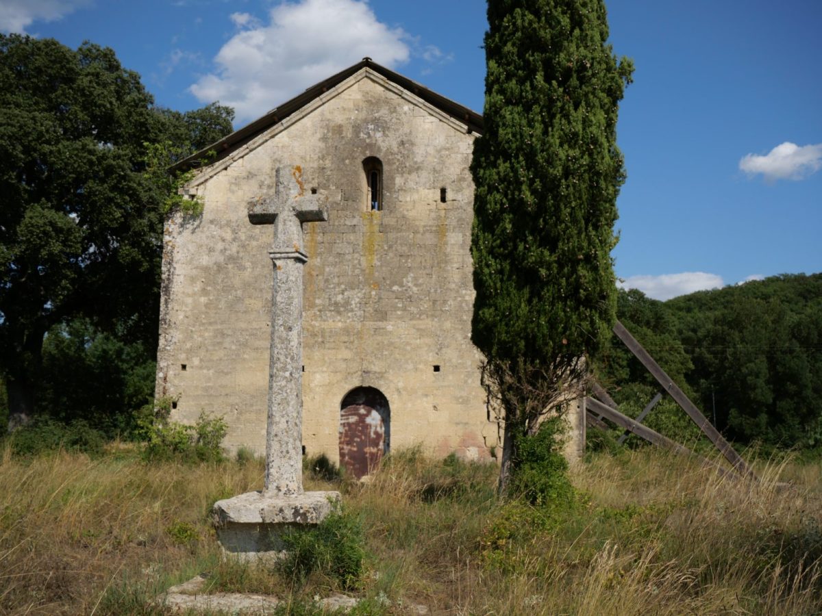
Pass near the St Pierre chapel.
Near the hotel la Bégude St Pierre, take the path on the left to go around it, then the path on the right to go towards the D981 to cross it (caution) and join the path of la Bégude (yellow markings).
At the end of the path, turn right onto the "chemin du Mouras" and then the first left (crossing the greenway).
Turn left on the "chemin de la cave coopérative" then right on the "rue de palézieux".
Turn right on "la rue de la poste" which will bring you back to the center of the village.