 Ticketing
  Pass
Pass
 Gift box
  Groups & business
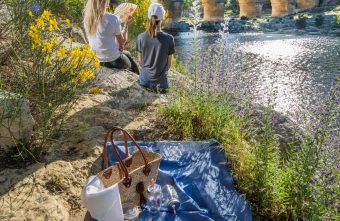


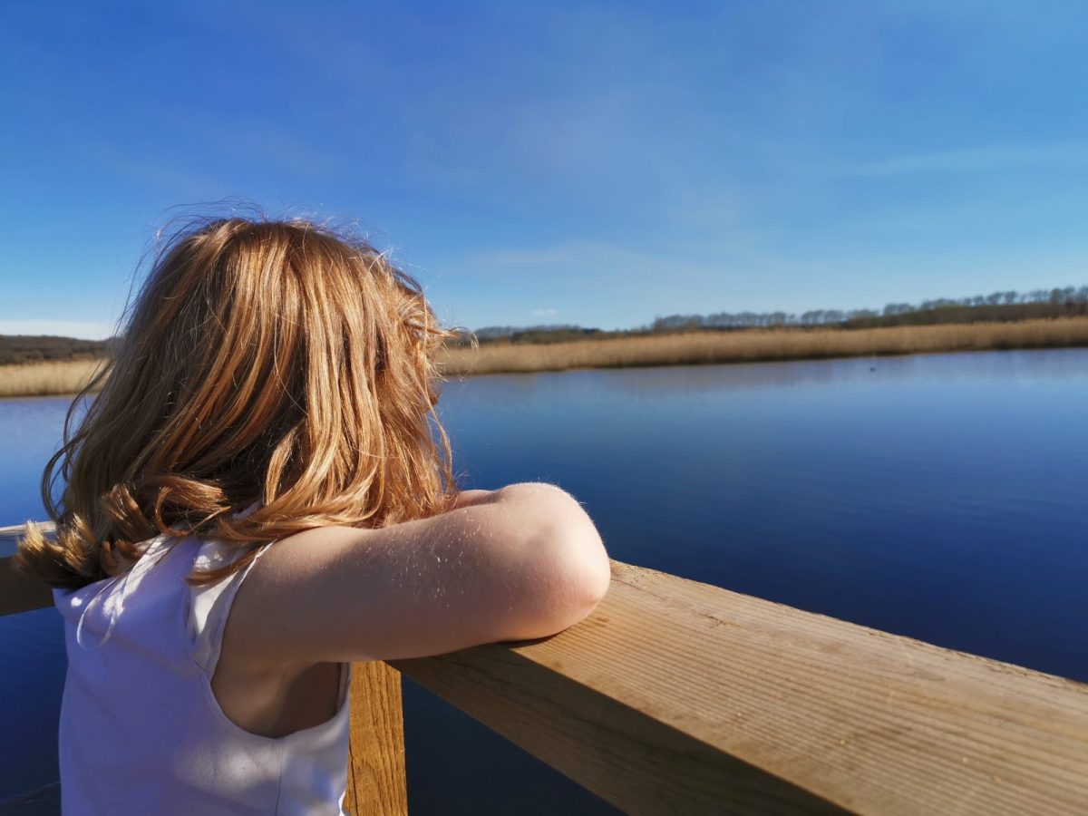
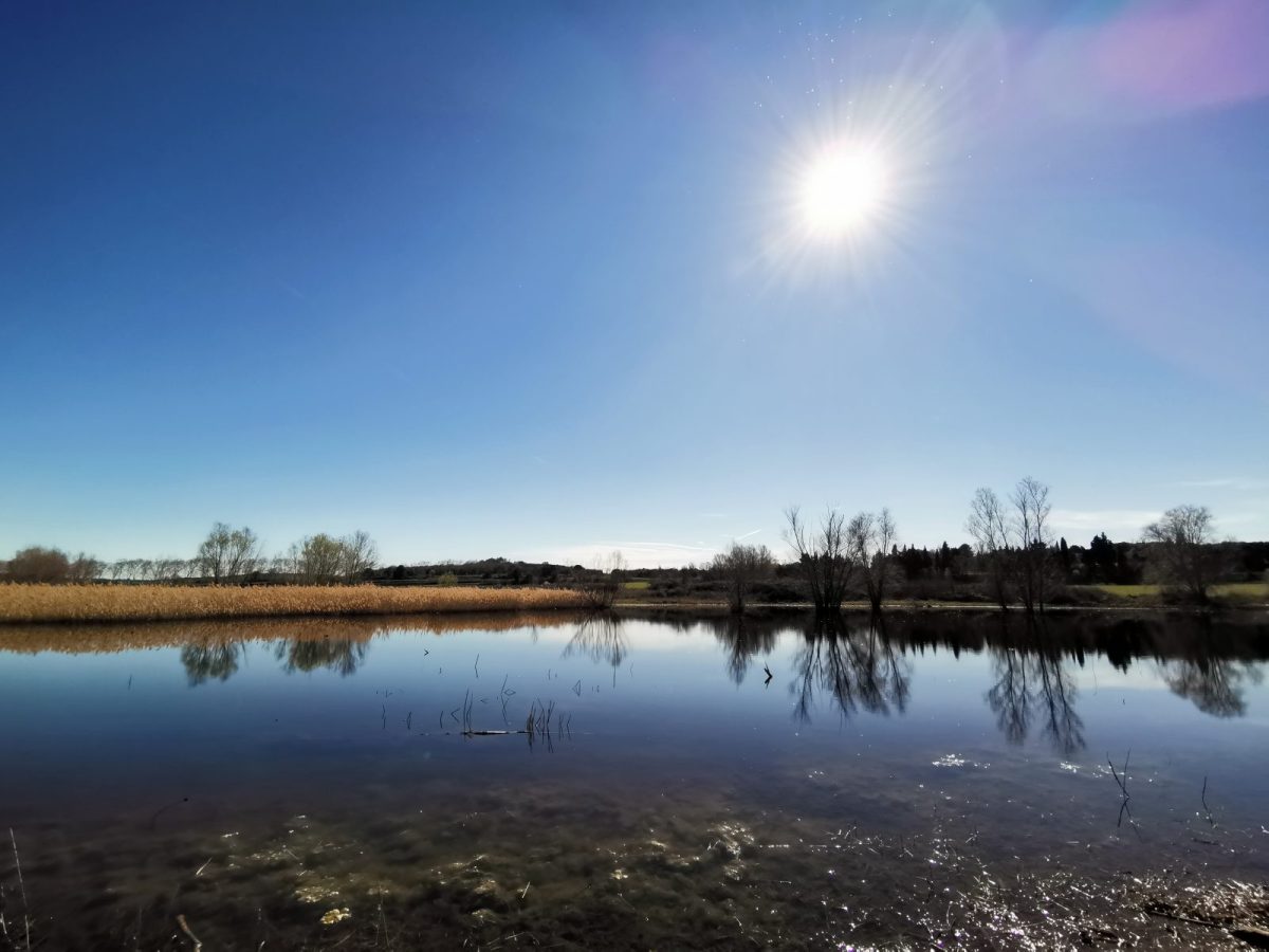
Travel back in time to the feudal era by visiting the villages of La Capelle and Masmolène and their heritage treasures. Discover exceptional landscapes through the pond, a Natura 2000 protected area that hosts a rare specific fauna and flora.
From the parking Place du 19 Mars 1962, follow the Montée Tour d'Adelar for about 170m, and observe on your left the Chapelle de la Tour. Continue for another 40m on the Tour d'Adelar hill, then turn right at the crossroads and continue for 130m, then take the hiking trail on your left that goes down and follow it for about 700m.
When you reach the signpost "Blaquière", turn right towards "Caser et Blaquière". Once there you can see the windmill on your left.
Then follow the direction "Le Planet".
When you arrive on the "chemin des Cazels", at the crossroads, turn right on "le chemin de Gaujac" for 180m then turn right again on "le chemin des Jasses" until you reach the "Place de la Fontaine" at 200m.
You will see the church on your left, take its direction on the street "Helias de Saint-Irieix".
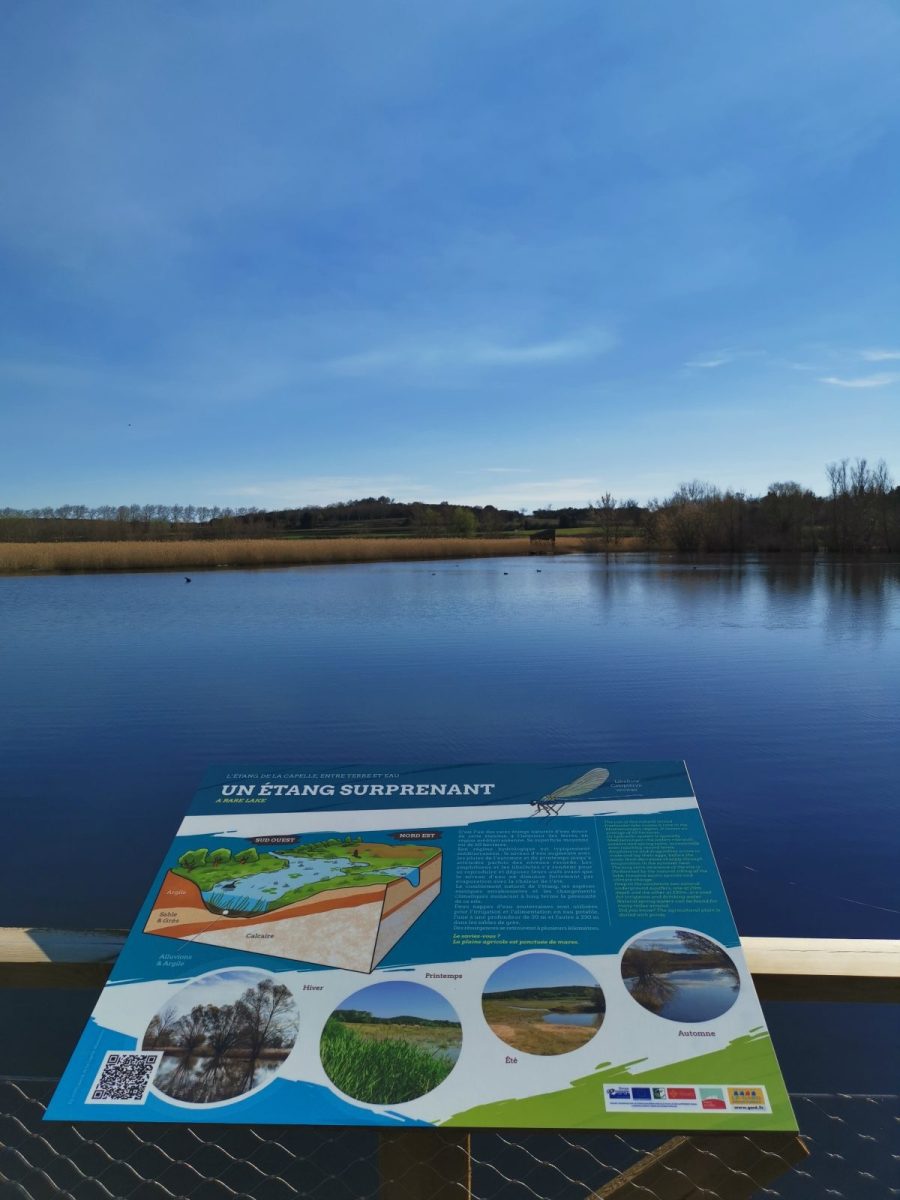
Once on the church square, go towards the Château de la Capelle located at the end of the square. On the other side of the road, an information panel presents the history of the village.
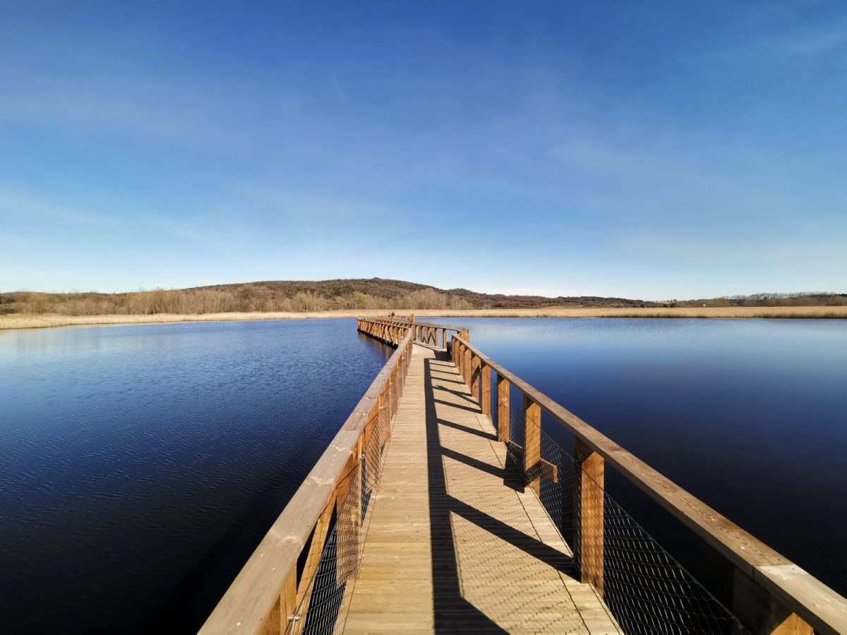
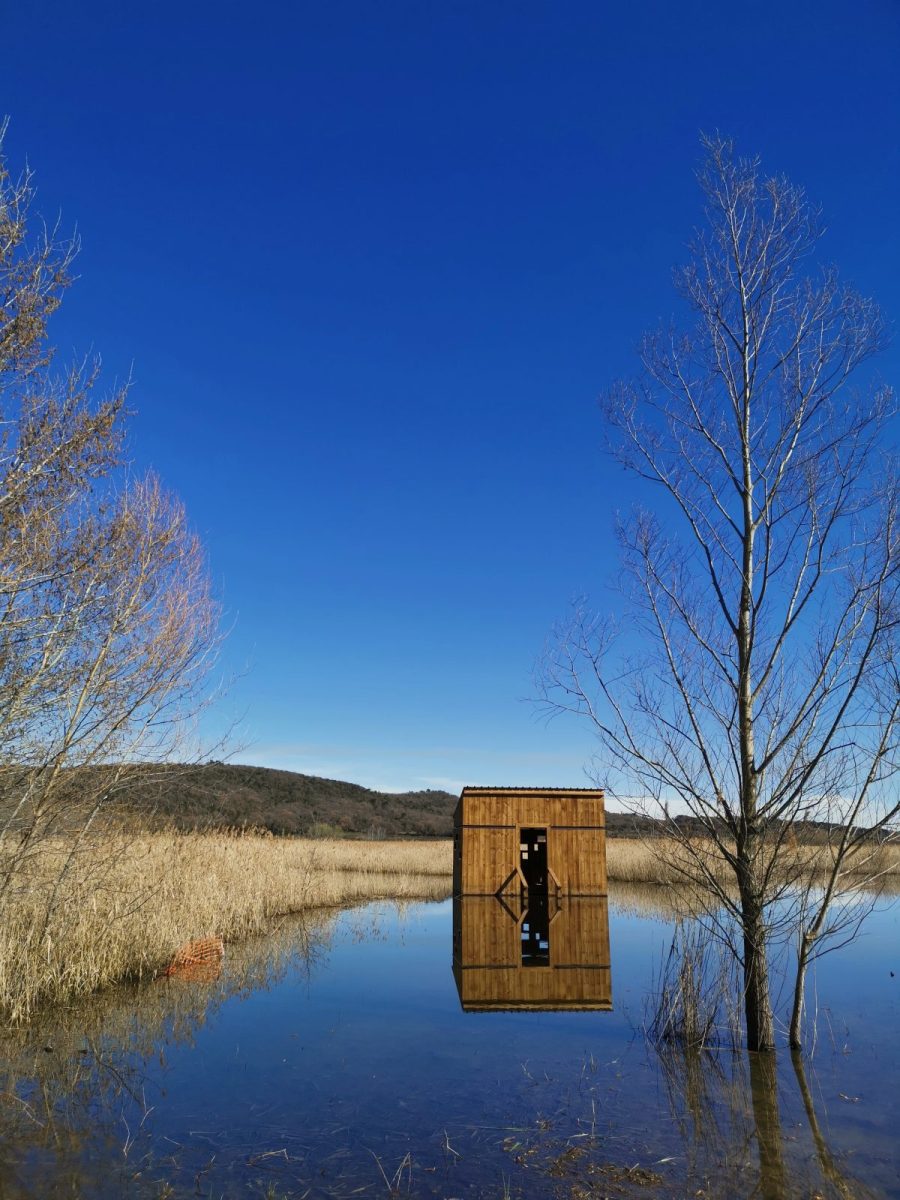
Follow the direction "Etang de la Capelle" at 1.2km, following the "Route d'Uzès", then the sign "Pêche municipale".
After having discovered the pond of the Capelle, go towards the parking lot and take the road located on the right of the house in front of the information panel on 80m.
At the crossroads, a cyclo loop sign indicates "Boucle de la Garrigue". Follow the directional post "Barbion", then the one for "Camperjura".
Then take the direction of "Peyreguil", then "Le Plan".
At the post with the yellow marker, take the path on the right, continue for 10m and go towards the path on the left of the private property.
Once back on a wider path, follow it for about 500m until you come back on the paved road to Flaux. You can see the village of La Capelle-et-Masmolène on the hill.
Turn right and go up towards the village, for 300m, until you see the signpost "Le Plan".
Go towards Masmolène by taking the "route de Vallabrix", then "la rue de la Fontaine Nouvelle", and finally turn left to come back to the parking Place du 19 Mars 1962.
Further information
Pond area adapted for wheelchairs and strollers. Be careful the day after the rain, the ground is waterlogged and becomes difficult to roll.
The entire trail is not accessible by strollers and wheelchairs.