 Ticketing
  Pass
Pass
 Gift box
  Groups & business
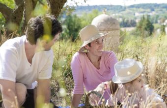
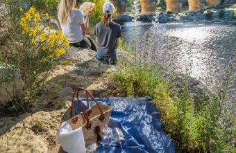


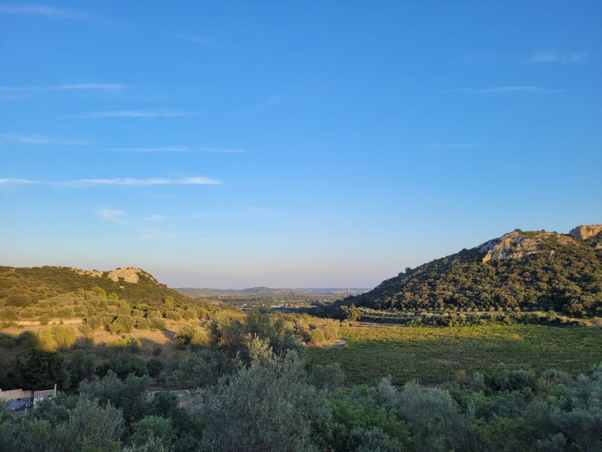
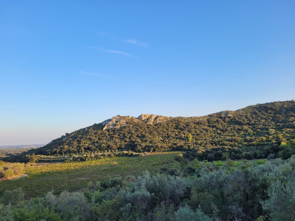
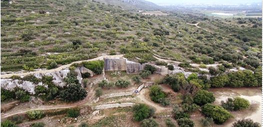
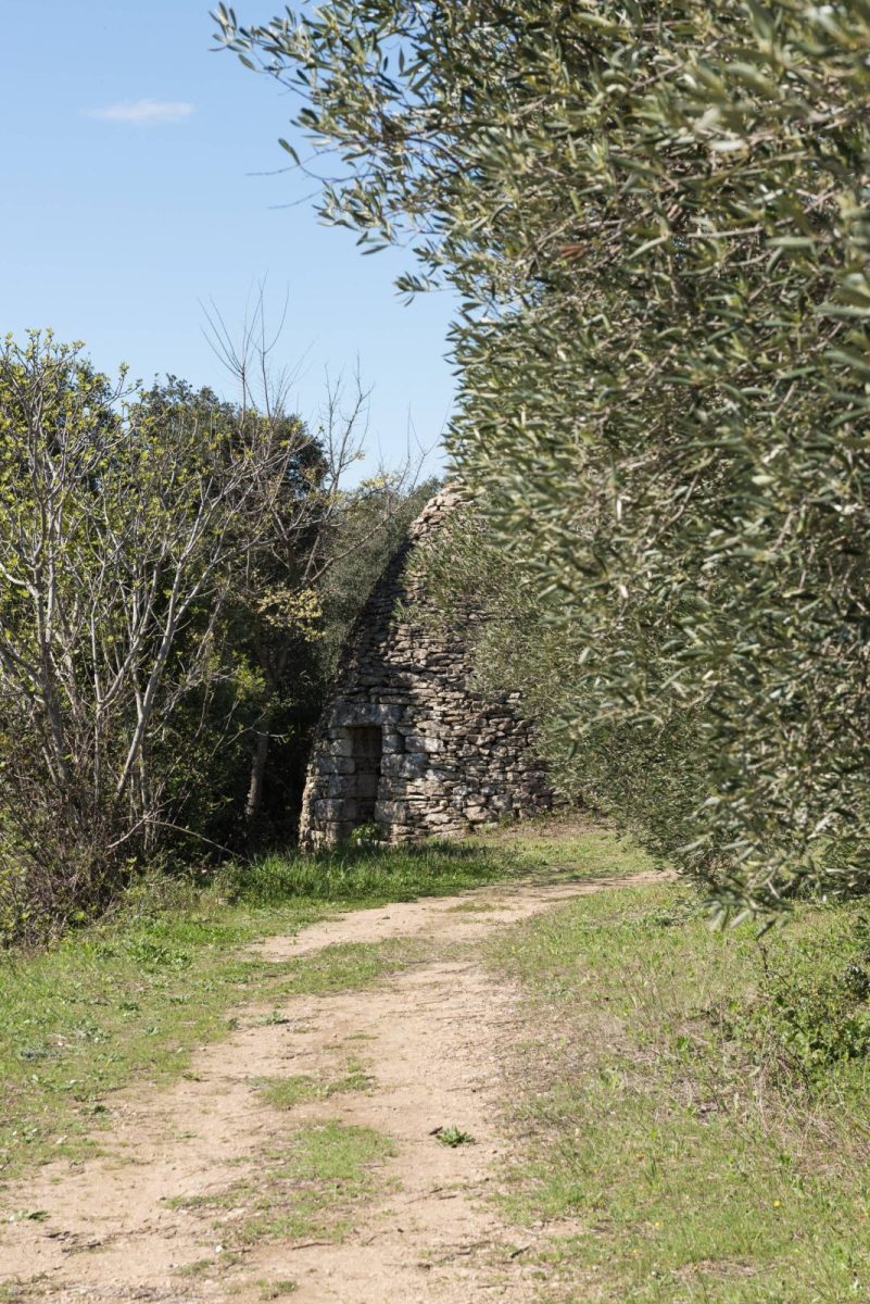
Through the garrigue, discover the site of the "vallon d'Escaunes" and the tunnels dug by the Romans for the passage of the aqueduct.
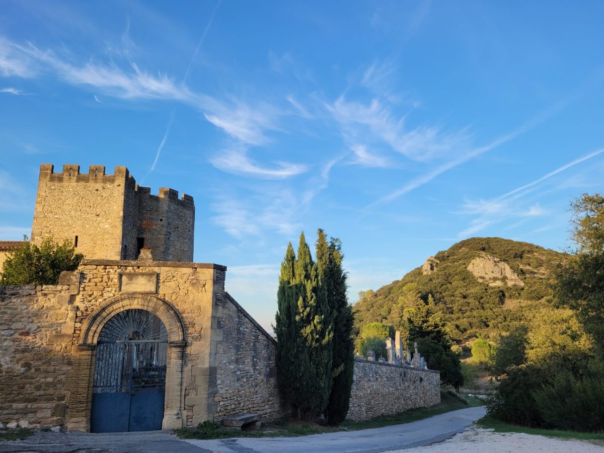
From the fortified church of St Bonnet du Gard enjoy the panorama of the Rhone valley and the Mont Ventoux.
Departure from the parking "Chemin du Sablas" (town hall) in St Bonnet du Gard, direction "la place de la Fontaine". Cross the road D6086 (be careful) to join "la rue de l'Hôtel de Ville", and go up to the fortified church.
Continue straight on following the red and white markings: pass near the signpost "Ferraud" then "Sous Ferraud".
Turn left to take the path and follow the yellow markings for 800m until the sign "La Draille de Perotte".
At the fork in the road, take the left path for 300m and join the Roman tunnels. Then follow the signs "Chemin de ronde", "Le Vallon" and "Le Roliss" for 600m and continue straight ahead to reach "Chemin de l'Aqueduc".
Arrival in Serhnac. Continue straight ahead until "Chemin des cavaliers" then turn right to pass near the multipurpose hall. Follow the path for 900m and turn right to reach the sign "Pied de Vallajouse" (yellow markings).
Continue straight on for 1.2km in the direction of St Bonnet du Gard. At the intersection go straight ("Garrigues Brasses") then join the department D6086 and turn right to join "la place de la Fontaine" (be careful crossing the department) and the parking of Sablas.